goodbye, greenery and quiet
Be it ever so green and quiet and perfect, my route to my new job isn't going to last. The Achilles heel is the crossing of Bayview - last night I came close to causing a collision trying to cross the mess in rush hour. Amazingly, the collision was with another cyclist as I headed for my separated lane. Allow me to explain.
It looks so peaceful:
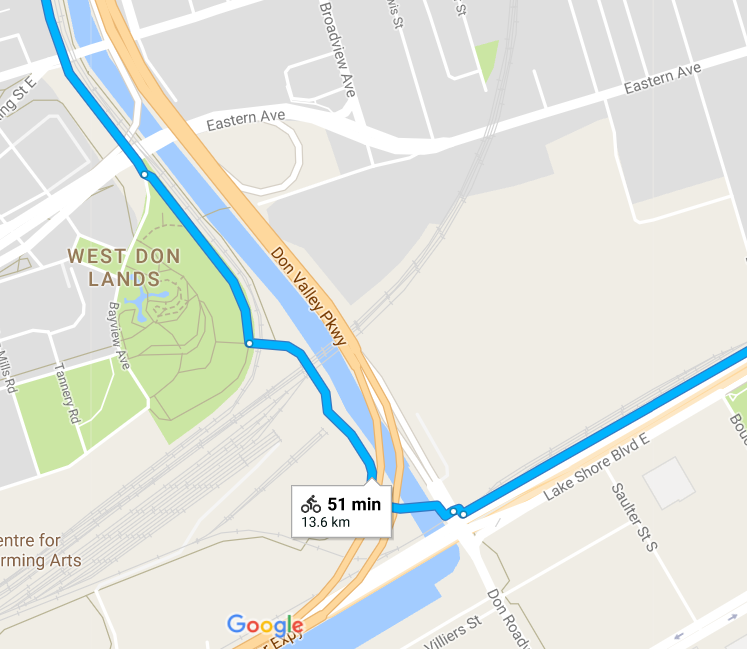
lower Don cycle route
But there is a problem. At some point, as shown, you have to cross from the south-bound cycle lane on the west side of the street (the cycle lane itself only appears a few hundred meters north of the problem spot), to the off-street multi-use lane in the park on the east side of the street. I've circled it on the map, here:
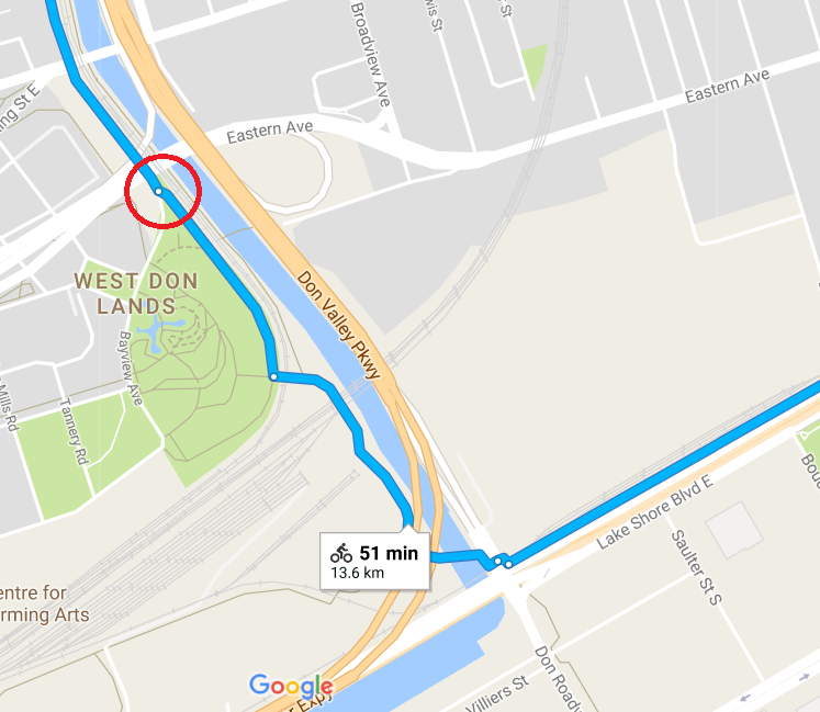
problem spot on the lower Don cycle route
Here is a view on the street, with the red mark indicating what I'm trying to do:
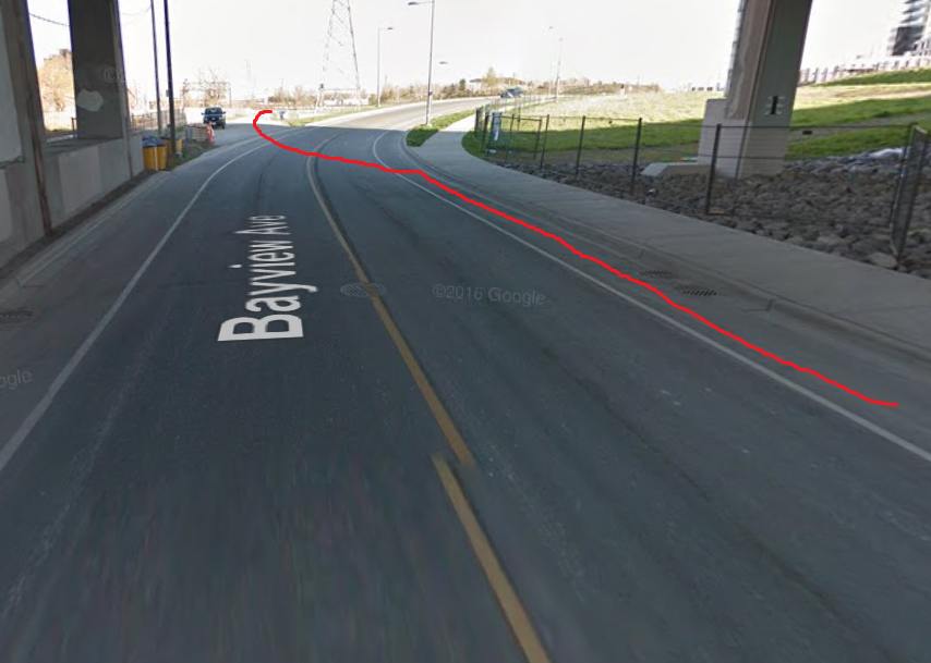
crossing the street
In rush-hour traffic, with high volumes of over-speed cars, it's a lot harder than it looks.
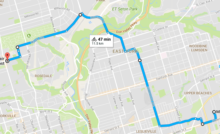
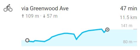
There's another issue. This is the profile of the route I've been taking:
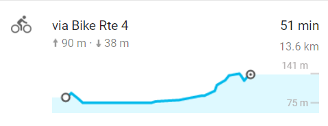
profile of my existing ride
It's a great, scenic ride, but I'm no longer the 32-year-old who last commuted that way. I can already sense the cumulative strain building in my knees and hips. I'd prefer something that stretches out all that climbing.
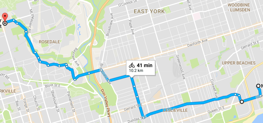
If I choose the following candidate route, three things happen. I remove the dangerous spot; I shorten my route by 2km; and I make that slope much more gentle. Here's the route:
possible new route
Here's the profile (ignoring the two false down-up chevrons where my route crosses a bridge rather than descending into the ravines and then climbing out again):
profile of my existing ride
It looks promising. Certainly more so than this alternate route, which places me on the high-speed and high-volume Mount Pleasant avenue for a spell, then has me climb directly out of the ravine up the steep side of the thing, right at the end.
shortest ride